
Country Peru District Lircay Elevation 3,278 m Province Angaraes Province | Region Huancavelica Time zone PET (UTC-5) Local time Saturday 1:01 PM | |
 | ||
Weather 14°C, Wind NE at 14 km/h, 54% Humidity | ||
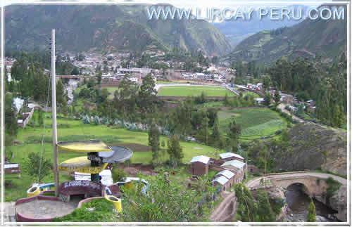
Lircay is a town in Central Peru, capital of the province Angaraes in the region Huancavelica. It is located at an altitude of 3,278 m. The town had a population according to the 2007 census of 6,563 people. Most of the people of the town belong to tha native American race.
Contents
Map of Lircay District, Peru
Transportation
The city is connected to the city of Huancavelica by an unpaved road.
Education
The town is home of a local university; the Universidad para el Desarrollo Andino, and has a branch of the Universidad Nacional de Huancavelica. There are a local technical institute; the Instituto Tecnologico Lircay.
Health
Lircay has a clinic, Centro de Salud, that serves the city and the towns nearby.
References
Lircay, Peru Wikipedia(Text) CC BY-SA